Ribera de l'Alt Segre
In the wake of the imposing north face of the Sierra del Cadi, and surrounded by Ceretian pastures and meadows, the Segre shows off its full ecological potential with a splendid riverside forest, one of the best in the country.
ALL THE SPACES IN THE NETWORKGeology
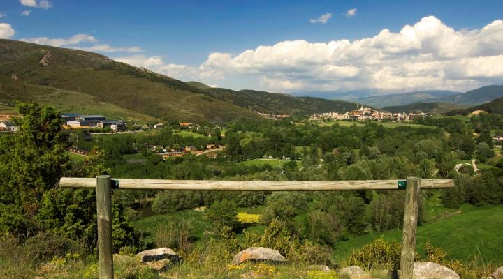
This area is located on the banks of large meanders that make up the river Segre in its upper part. The area is more or less flat, as it corresponds to one end of the Cerdanya tectonic trench. This depression was caused by normal neogene faults that cut into the terrain of the Pyrenees at the end of its rise. This tectonic trench is responsible for the landscape configuration of La Cerdanya. In this way we have a wide valley, where the Segre runs meandering, in an east-west direction, between the Pyrenean terrain of the Cadí and Moixeró, to the south, and the Comaermada range to the north.
The sediments that can be observed are typical of a current river: recent gravel and coarse sediments that were exploited in their time, leading to holes filled by filtered groundwater from the river forming these rafts.
In the hill of the Serrat del Gallissà and surroundings, we can find some examples of the rocks of the substrate. They can be very ancient Paleozoic rocks: limestones, sandstones and microconglomerates, or modern Neogene rocks: shales and sandstones. These last rocks are the ones that filled the tectonic trench as the block above the fault sank.
The viewpoint of the Sierra de Gallissà offers a great view from which to enjoy the unique geology of La Cerdanya.
